How AI and satellites help fight wildfires
Wildfires are currently raging in Europe, Canada, and elsewhere. To successfully fight these fires, speed is essential. Early detection from space and AI-powered data analysis
Wildfires are currently raging in Europe, Canada, and elsewhere. To successfully fight these fires, speed is essential. Early detection from space and AI-powered data analysis can help. In July, hundreds of firefighters are battling flames in Spain, Portugal and France. A map from NASA's Fire Information for Resource Management System (FIRMS) shows more wildfires: Red dots are scattered all over the world — essentially only the white areas of Greenland and Antarctica are excluded. Each of the dots marks a satellite-detected hotspot or active fire. NASA's Fire Information for Resource Management System shows red dots that indicate a satellite-detected hotspot or active fire Image: NASA FIRMS With heat waves and droughts, wildfires are occurring more frequently worldwide. They often starts quite unspectacularly — a discarded cigarette or a spark blown away from a campfire is enough to set dry leaves and small branches on fire. After that, quick action is important to extinguish the fire before it can set larger areas ablaze. Spotting fires early with satellites To act quickly, however, small fires need to be detected early. This is a problem in more remote areas. But before the human eye can see rising flames or smoke, satellites may have already sounded the alarm. Much satellite data is freely available, such as that from FIRMS. Global data is publicly available within three hours of satellite observation — in the US and Canada, some of it is even available in real time. The European Forest Fire Information System (EFFIS) also provides free data for Europe, the Middle East and North Africa, drawing on information from NASA, Copernicus and the European Earth observation program.
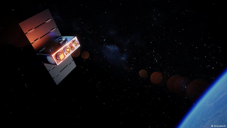
Despite all this free data, Munich-based startup OroraTech has developed a business model for wildfire detection. The formula: satellite data, artificial intelligence (AI), service — and all of it fast. Real-time wildfire monitoring from space "The systems of NASA and the European Space Agency (ESA) usually only take images at a specific time of day," explains Thomas Grübler, chief strategy office at OroraTech. For example, only in the morning or at noon. Typically, however, wildfires tend to break out from the middle of the day onward. OroraTech fills this "afternoon gap" with its own satellites. In addition, the data provided by conventional satellites is not geared toward the detection of fires. If the resolution of a camera is not high enough small fires might be overlooked. As a result, important data may only reach firefighters with a delay. During that time, fires can spread undetected. Seeing through dense smoke from fires makes it difficult to survey the affected areas, no matter how big or small the satellite Image: Matthias Schrader/AP Photo/picture alliance In spring 2022, OroraTech launched its first satellites into orbit. The satellites are equipped with thermal infrared sensors that detect temperature differences, enabling them to detect heat at night and through smoke, although dense cloud cover can still limit observations. What makes them special, says Grübler, who cofounded the company in 2018, is that the cameras have been miniaturized to fit inside a shoe-bo sized satellite. This makes them cheaper and they only require a fraction of the energy of larger satellites.
 The BriefWire