As Dharavi is set to disappear, a digital twin will ensure it survives
Maps usually tell people where to go. This one will tell us where people came from, and where they lived in a place that is
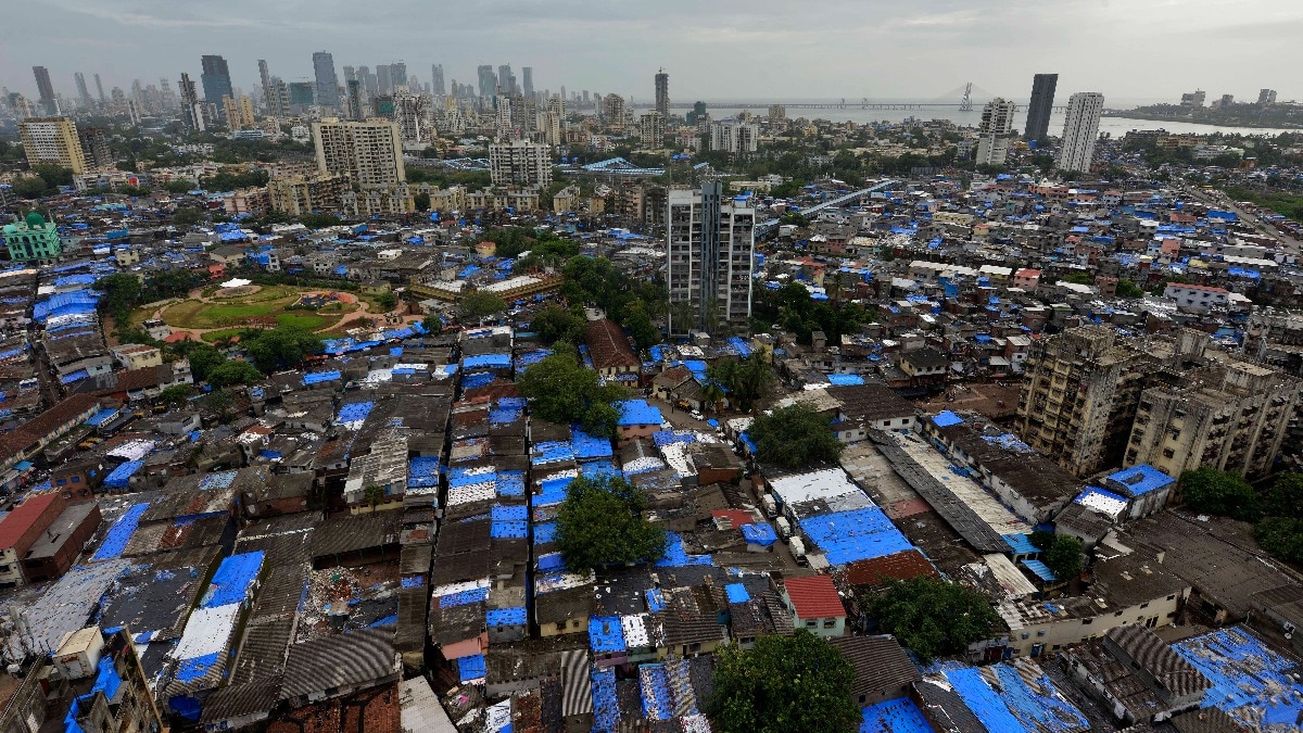
Maps usually tell people where to go. This one will tell us where people came from, and where they lived in a place that is undergoing massive change in the heart of Mumbai. In the lanes of Dharavi, where homes, workshops and businesses once stood wall to wall, a change is brewing. As bulldozers are reshaping Dharavi, India's most ambitious urban redevelopment project is first preserving it in three dimensions, with a digital archive of a settlement that helped fuel Mumbai's economy for decades. Read Full Story It is not just a blueprint for the future, but a detailed record of the present and the past. Built using drone surveys, LiDAR scans, lane measurements and door-to-door mapping, this digital twin — a precise three-dimensional replica of the settlement — is expected to play a central role in the Adani Group-led redevelopment of one of the world's largest informal settlements. For the more than a million people who call Dharavi home, the digital twin is expected to do a lot more than help engineers draw plans. Think of it as a living Excel sheet layered onto a 3D map. If a family living in one of Dharavi's countless lanes has to move because of a new road alignment or housing cluster, the model records where they live, what kind of structure they occupy, their utility connections, and their exact location within the settlement. Instead of relying on scattered records or manual surveys, planners can identify who needs to be relocated, where they can be rehabilitated, and the plot they are leaving behind.
The idea is to reduce confusion and disputes while making one of India's most ambitious redevelopment exercises more organised. THE DIGITAL TWIN WILL PRESERVE DHARAVI'S MEMORY The digital twin is not only about where Dharavi is headed as a locality. It will ensure that the Dharavi people know today is not lost forever. Long after narrow lanes make way for wider roads and Manhattan-like skyscrapers in the heart of Mumbai, the old settlement will continue to exist in digital form. Workshops, rooftops, shared taps, open spaces and neighbourhoods will remain preserved in 3D models. Future generations will never walk through today's Dharavi, but they will be able to understand how it looked, how it was laid out, and how people built lives within its tightly packed streets. Authors and journalists who have reported from Dharavi over the years have often argued that reducing it to statistics does little justice to its character. It is called Asia's largest slum, or one of the world's densest settlements. Those descriptions are true, but they leave out what makes Dharavi unlike anywhere else in Mumbai, or in the world. It is one of the city's richest cultural landscapes, every bit as significant in its own way as Koliwada or the historic Old Lady's Island stretch where Colaba stands today. Walk through Dharavi and the city changes every few hundred metres. Tamilians run eateries that have served the same customers for decades.
 The BriefWire