China's $147-Billion Brahmaputra Mega Dam Back Under Scanner Over Active Fault Line Warning
China's $147-Billion Brahmaputra Mega Dam Back Under Scanner Over Active Fault Line Warning Published By, Last Updated: July 10, 2026, 12:01 IST The study says
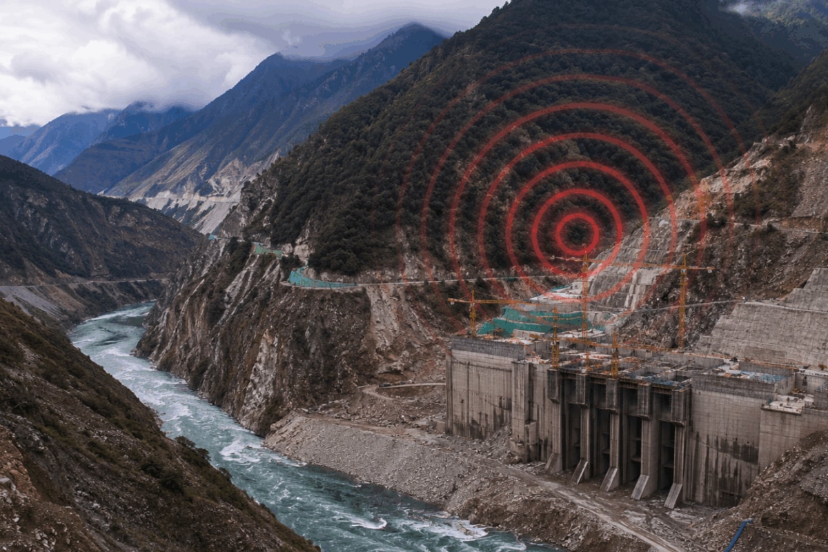
China's $147-Billion Brahmaputra Mega Dam Back Under Scanner Over Active Fault Line Warning Published By, Last Updated: July 10, 2026, 12:01 IST The study says the project is located on the Paizhen Fault, an active tectonic fault zone near the Great Bend of the Yarlung Tsangpo River in southeastern Tibet Rapid Read The study says repeated movement along the fault could destabilise surrounding rock masses and mountain slopes, increasing the likelihood of landslides, rock collapses and ground deformation around the project. (Representational Image) China’s plan to build the world’s largest hydropower project on the Yarlung Tsangpo River in Tibet has come under fresh scientific scrutiny after a study by Chinese geologists warned that the proposed dam site sits atop an active fault capable of affecting the safety and stability of the massive infrastructure. The findings are significant because they come from researchers affiliated with the China Geological Survey, lending fresh weight to concerns that have long been raised by India over the risks of constructing a mega dam in one of the world’s most seismically active regions. According to the study, published in the Chinese-language journal – Sedimentary Geology and Tethyan Geology – the project is located on the Paizhen Fault, an active tectonic fault zone near the Great Bend of the Yarlung Tsangpo River in southeastern Tibet.
The researchers found that the fault has remained “highly active since the Pleistocene", the geological epoch that began around 2.6 million years ago, and continues to undergo tectonic movement. “The Paizhen Fault, which has been highly active since the Pleistocene, will have a major impact on the structural stability and construction of nearby structures, including dams, roads, bridges and tunnels, as well as the reservoir area," the researchers wrote. The study says repeated movement along the fault could destabilise surrounding rock masses and mountain slopes, increasing the likelihood of landslides, rock collapses and ground deformation around the project. Such geological activity, it notes, could affect critical components of the hydropower complex, particularly underground tunnels, powerhouse caverns and other large engineering structures planned for the site. The researchers have recommended continuous geological monitoring, reinforcement of vulnerable slopes and the incorporation of fault activity into every stage of the project’s design and construction. The hydropower project, launched by China in 2025, is being built in Medog County near the dramatic “Great Bend" of the Yarlung Tsangpo, where the river makes a sharp U-turn before entering India as the Siang in Arunachal Pradesh and later becoming the Brahmaputra.
 The BriefWire