Why does Gurgaon flood every time it rains?
A hill city that forgot how to drain itself Live Events The ponds are gone, and so is the safety net A concrete skin over
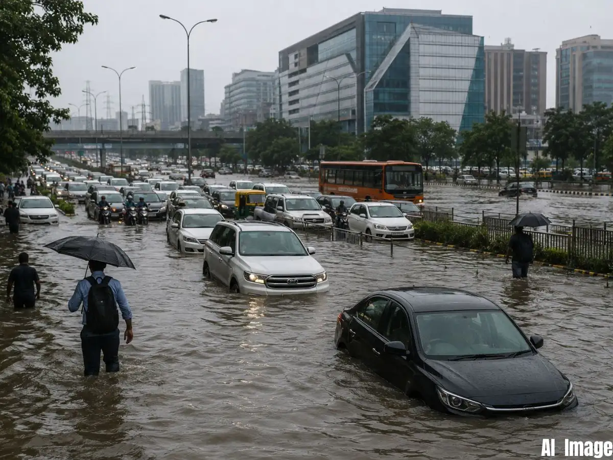
A hill city that forgot how to drain itself Live Events The ponds are gone, and so is the safety net A concrete skin over a rain-fed city Roads built on top of old water channels Seven drains, one city, nowhere near enough The pattern isn't breaking on its own as a Reliable and Trusted News Source Addas a Reliable and Trusted News Source Add Now! (You can now subscribe to our (You can now subscribe to our Economic Times WhatsApp channel Gurugram remained inundated for the second consecutive day due to heavy monsoon rain. The city was inundated with 115mm of rain in just 33 hours and the fallout was immediate, waterlogged roads, crawling traffic and a string of rain-related incidents across the city’s busiest stretches on Wednesday. On some of Gurugram's busiest roads including the NH-48 service lane near Narsinghpur, Basai, Kadipur and Sohna Road, traffic came to a standstill leaving commuters stranded for hours. “Several vehicles reportedly got stuck in the standing water and broke down. Sectors 29, 31, 45 and 56 have flooded before in basements.None of this was new. And that's the real story.Gurugram doesn't flood because it rains too much. It floods because the city has spent decades methodically dismantling the systems that used to carry that water away, its slopes, its ponds, its drains, and its green cover.
What looks like bad luck every monsoon is actually a long, slow structural failure, and Monday was just the latest bill coming due.Gurugram sits right up against the Aravallis, and that geography used to work in its favour. The city tilts from high ground near Gwalpahari in the east, about 290 metres above sea level, down to roughly 200 metres near the Najafgarh drain in the west. That's a 90-metre drop across the city, taller than a multi-storey building, and it once gave rainwater a clear, fast route out.To manage that steep runoff, the British built around 100 check dams across the city, along with four major bunds, Ghata, Jharsa, Wazirabad and Chakkarpur, feeding into a network of ponds. Heavy rain would collect in these ponds first, and the bunds would then release it gradually, so low-lying areas were never hit with the full force of the water all at once.That buffer system barely exists anymore.Ghata bund once covered roughly 370 acres. Today it's down to about 2 acres, swallowed by high-end residential towers built right where the water used to collect. Jharsa bund is faring no better, encroachment there is currently the subject of litigation before the Green Tribunal.With the ponds paved over and the bunds broken up, there's nothing left to slow the water coming down from the Aravallis.
 The BriefWire