India Sizzles, Mumbai Still Waiting: Delayed Southwest Monsoon Raises Concerns
India Sizzles, Mumbai Still Waiting: Delayed Southwest Monsoon Raises Concerns Reported By, Last Updated: June 19, 2026, 20:05 IST The monsoon is nearly 10 days
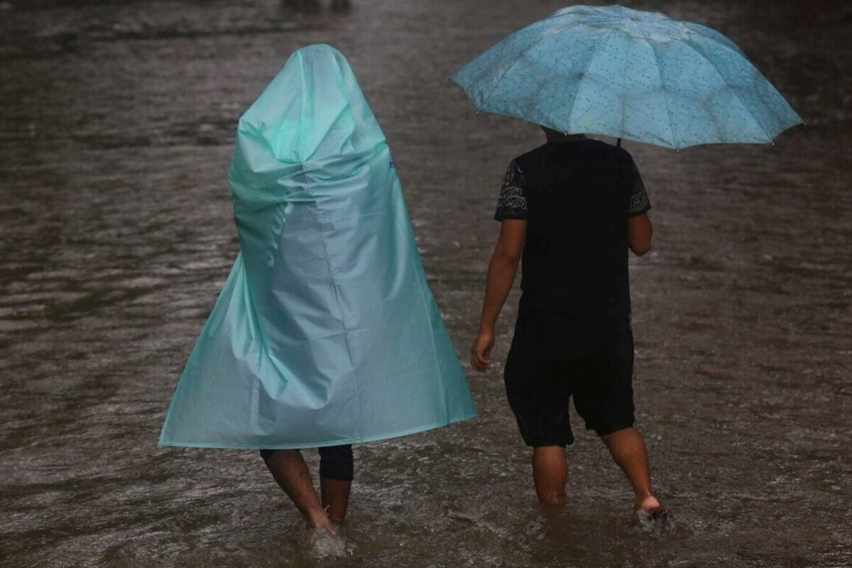
India Sizzles, Mumbai Still Waiting: Delayed Southwest Monsoon Raises Concerns Reported By, Last Updated: June 19, 2026, 20:05 IST The monsoon is nearly 10 days behind schedule, yet to reach Mumbai where it arrives by June 11 and lags across parts of Maharashtra, Odisha, Bihar, and Chhattisgarh Rapid Read The monsoon has also missed its date with Surat in Gujarat. (AP File) Temperatures across India continue to soar as the southwest monsoon lags behind its usual schedule. The seasonal rains are advancing more slowly than expected with cities like Mumbai still awaiting rains nearly 10 days past its normal date. As per its normal timeline, based on 1971-2020 data, the southwest monsoon reaches Mumbai by June 11, however, this year it has only covered Maharashtra till Harnai and Solapur. Last year, it made one of its earliest arrivals in the city on May 26, while it was June 6 in 2024 and June 25 a year before that. Recommended Stories It usually covers most parts of Maharashtra like Pune, Mumbai as well as Cuttack, Puri in Odisha, Gaya in Bihar, as well as Raipur in Chhattisgarh by mid-June.
However, the current forecast suggests it is expected to move into these parts of Maharashtra, Telangana, Odisha, Jharkhand and Bihar, and some parts of Chhattisgarh around June 23. The monsoon has also missed its date with Surat in Gujarat where it normally arrives by June 19. The satellite images show that the northern limit of the monsoon currently passes through Harnai, Solapur in Maharashtra, Hyderabad, Bhadrachalam (Telangana), Koraput (Andhra Pradesh), Phulbani (Odisha), Ranchi (Jharkhand), Jamui, and Muzaffarpur (Bihar). The delay could impact its onset over northern India, which is simmering under intense heat with temperatures settling around 40℃. Normally, the southwest monsoon reaches Delhi by June 27, and covers the entire country by July 8, after making its onset in the extreme western parts of Rajasthan, including Jaisalmer. The seasonal rains are extremely crucial as they provide over 70% of the annual rainfall in the country during June to September. However, this year’s season began under the shadow of El Niño which is expected to weaken its strength, and lead to below par rains over the country.
According to the US-based Oceanic and Atmospheric Administration (NOAA), El Niño has already formed as indicated by above-average sea surface temperatures (SSTs) across the central to eastern equatorial Pacific Ocean, and is expected to intensify further. “There is a 63% chance of a very strong El Niño during November-January that would rank among the largest El Niño events in the historical record going back to 1950," it said in its latest advisory. The ocean system is extremely unfavourable for the monsoon rains, and has been linked to droughts in India in the past. With no rains in sight, heatwaves are likely to once again sweep parts of Bihar, East Uttar Pradesh, Madhya Maharashtra and Vidarbha during the next three days, with humidity levels also rising across southern states. However, a western disturbance may bring some relief to the northern states during June 19-22 with widespread rainfall across Jammu and Kashmir, Himachal Pradesh and Uttarakhand, and some isolated rains in Punjab, Haryana as well as Delhi, with most if it accompanied by thunderstorms.