Godzilla El Niño 2026 is coming: The hidden Pacific ocean force triggering floods, droughts, and extreme rainfall across the world
El Niño 2026: Understanding its uneven weather impact What “Godzilla El Niño” really means in climate science Farms, grids, and the slow pressure of heat
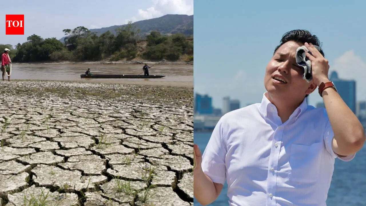
El Niño 2026: Understanding its uneven weather impact What “Godzilla El Niño” really means in climate science Farms, grids, and the slow pressure of heat Looking back through history’s climate echoes What comes next feels uncertain A patch of the Pacific Ocean has been quietly warming again, drawing attention from meteorologists who spend their time watching patterns most people never think about. The signals are not dramatic on their own: a few degrees here, a shift in sea surface temperatures there, winds behaving slightly differently than expected. But these small changes tend to travel. El Niño is one of those recurring systems that starts far out at sea and then threads itself into weather thousands of kilometres away, sometimes in uneven and hard-to-predict ways.As reported by the Oceanic and Atmospheric Administration (NOAA), El Niño and high tide flooding could create a “double whammy” for coastal communities in 2026. The US Weather Service forecasts that El Niño may develop by July 2026 and last through winter, increasing the risk of coastal flooding in several regions. El Niño is part of the ENSO cycle, a natural climate pattern that shifts between warm, cool, and neutral phases in the tropical Pacific Ocean. During El Niño, weakened trade winds raise sea surface temperatures and sea levels, influencing global weather patterns. On the US coasts, this can mean higher tides, stronger storm surges, and heavier rainfall.
Combined with long-term sea-level rise, experts warn that high-tide flooding could become more frequent and severe, especially when El Niño conditions peak in 2026.El Niño occurrence feels slightly different to those tracking it. Warm water gathers in the central and eastern Pacific, disrupting the usual movement of air and rain across the tropics. That shift can redraw rainfall patterns across continents.In recent observations, sea temperatures in parts of the Pacific have climbed well above average during the latest cycle, placing it among the strongest episodes recorded in recent decades. Forecasts have broadly captured the global picture, though not every regional outcome has followed the expected path neatly. California, for instance, did not receive the steady winter rains often associated with El Niño years, while other parts of the US saw heavy and persistent precipitation. Climate models are built on patterns, but the atmosphere rarely moves in straight lines. Small changes in jet streams can send storm systems hundreds of kilometres off course. That is what happened along the US West Coast, where rainfall ended up concentrated further north than many projections suggested.Scientists have been revisiting why some outcomes diverged so sharply from expectations. Part of the difficulty lies in how multiple systems interact at once: ocean temperatures, wind patterns, and longer-term warming trends all overlap. Even a well-established El Niño signal can be bent or diluted by these competing forces, leaving gaps between prediction and reality.The term “Godzilla El Niño” is not formal, but it has stuck in public discussion to describe the most intense versions of the phenomenon.