Satellites add a new layer to global poverty data
A new study using satellite data finds that 58% of the global population has been assigned to the wrong tier in the UN's Human Development
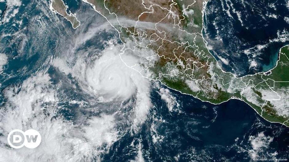
A new study using satellite data finds that 58% of the global population has been assigned to the wrong tier in the UN's Human Development Index. That can have real-world consequences for how aid reaches people. On paper, Arcelia looks like a poor-but-average Mexican town. It sits in Guerrero, Mexico's second-poorest state. Official data gives it a score of 0.714 — firmly in the "high development" band on the United Nations' Human Development Index (HDI). Then a satellite looks at Arcelia. Using artificial intelligence to analyze what it sees, it returns a lower score of 0.617. By the UN's own classification, that is no longer high but medium development — a different development tier and a different policy-reality for 33,000 people. Arcelia is not a special case. More than half (58%) of the global population is in the wrong development tier, because official data averages too broadly to see them. That is the central finding of a study published in the journal Nature Communications by researchers from Stanford University in the US and the UN's Development Programme. "There hasn't been a census in the last 10 years in about half of the world's poorest countries," said Hannah Druckenmiller, a co-author of the study, highlighting the necessity of up-to-date and accurate information to ensure public policy matches people's day-to-day needs. An accurate HDI score matters for aid delivery The Human Development Index is not merely a ranking. It "can determine allocations of global resources," the study's authors note. That shapes which regions are prioritized for aid. Getting it wrong at the local level means resources may miss the people who need them most. The problem is that the HDI only provides a score for entire countries.
It wasn't originally conceived to differentiate between provinces or even municipalities within a country. But in a simulated aid program for Mexico, one that targeted the poorest 10% of the country's population, researchers found that adding data from the municipal-level improved their understanding about the state of people's development — levels of poverty and wealth, education and health — by more than 11 percentage points. Across much of the developing world, census surveys are rare, expensive, and quickly outdated. Researchers think satellite data could complement survey data. Image: Nathan G./dpa/picture alliance The HDI fixed one blind spot — and created another For decades, measuring development meant measuring Gross Domestic Product (GDP) — a country's total economic output. The problem is that GDP can rise, benefiting only some people, while others remain illiterate, sick, or poor. In 1990, the UN introduced the Human Development Index to fix that. "[HDI] looks at the average Gross Income per capita, the average completed years of schooling or expected years of schooling, and the average life expectancy of each country, and combines them to come up with an indicator of well-being that runs from 0 to 1," said Sabina Alkire, director of the University of Oxford's Poverty and Human Development Initiative. Alkire was not part of the new study. HDI is based on data from the UN's own agencies, the World Bank, and national household and census surveys. It has become the world's most widely used alternative to GDP. But the researchers in the 2026 study felt the HDI still falls short of an accurate measure — the national averages presented in the HDI reveal little about what is happening inside a country at a local level.