Germany news: Some shipping stops as Rhine hits new lows
Skip next section What you need to know about low river water levels 08/11/2026 August 11, 2026 What you need to know about low river
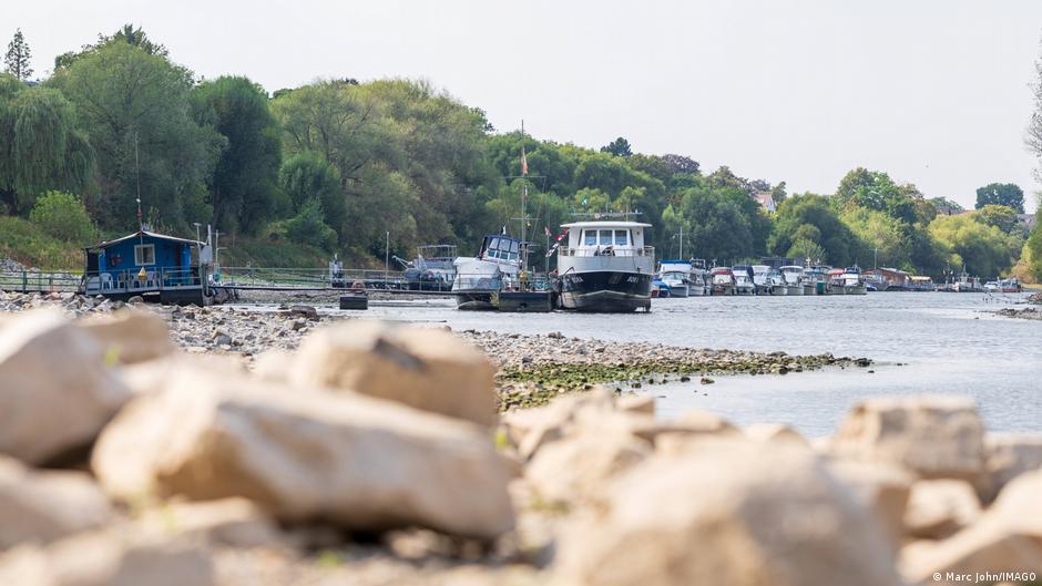
Skip next section What you need to know about low river water levels 08/11/2026 August 11, 2026 What you need to know about low river water levels The level of 19 cm reached last week in Kaub was already a record — but worse is to come Image: 5VISION.NEWS/IMAGO Water levels in several rivers in Germany, including the Rhine, have hit record lows that are well below normal for this time of year, causing severe disruptions to river traffic, with ships cutting their loads by about 80%. The water shortage comes during a prolonged dry period in Germany, accompanied by frequent heat waves, both of which are attributed by scientists partly to the effects of human-induced climate change.
But why is the situation so serious for Germany, and what are the key terms in connection with low water levels? The Rhine: A vital transport waterway The Rhine has been used as a transport corridor for much of western Europe since Roman times. It is the most important waterway in Europe, connecting industrial regions in Germany, Switzerland and other countries with big North Sea ports, including Rotterdam in the Netherlands. Although only one in 10 tons of freight in Germany is transported via rivers such as the Rhine, they are much used for certain goods, including ore, oil, chemical products and coal. As a result, industries that depend on these for their production are likely to be forced to cut their output, as not only is supply reduced in the current situation, but transport prices have also gone up massively.
What are river gauge measurements? The depth of water in German rivers is measured by gauges (Pegel) situated at strategic points on their course. These gauges, which are mostly located near the banks of a river, measure the depth of the river over an arbitrarily selected baseline. This means the measurements are only an indication of the actual navigable depth, which can be much more. For instance, although the gauge at the town of Kaub currently measures 16 cm (6.3 inches), the depth of the river in the channel used by shipping there is around 129 cm. Why is the gauge at Kaub so important? Kaub is situated on the Middle Rhine between St. Goar and Budenheim.
This section of river is seen as a chokepoint for shipping on the Rhine, as the navigable channel is not as well developed as in other places. It has also long been used since 1856 as a key location to measure low water levels in the Rhine. The previous lowest measurement in Kaub was 25 cm (9.8 inches) on October 22, 2018. The present measurement of 16 cm is thus already a historic low — and it is expected to sink to single figures in the next few days.
 The BriefWire