Delhi Records Wettest First Week Of August In 15 Years As Monsoon Gains Pace
News india Delhi Records Wettest First Week Of August In 15 Years As Monsoon Gains Pace Delhi Records Wettest First Week Of August In 15
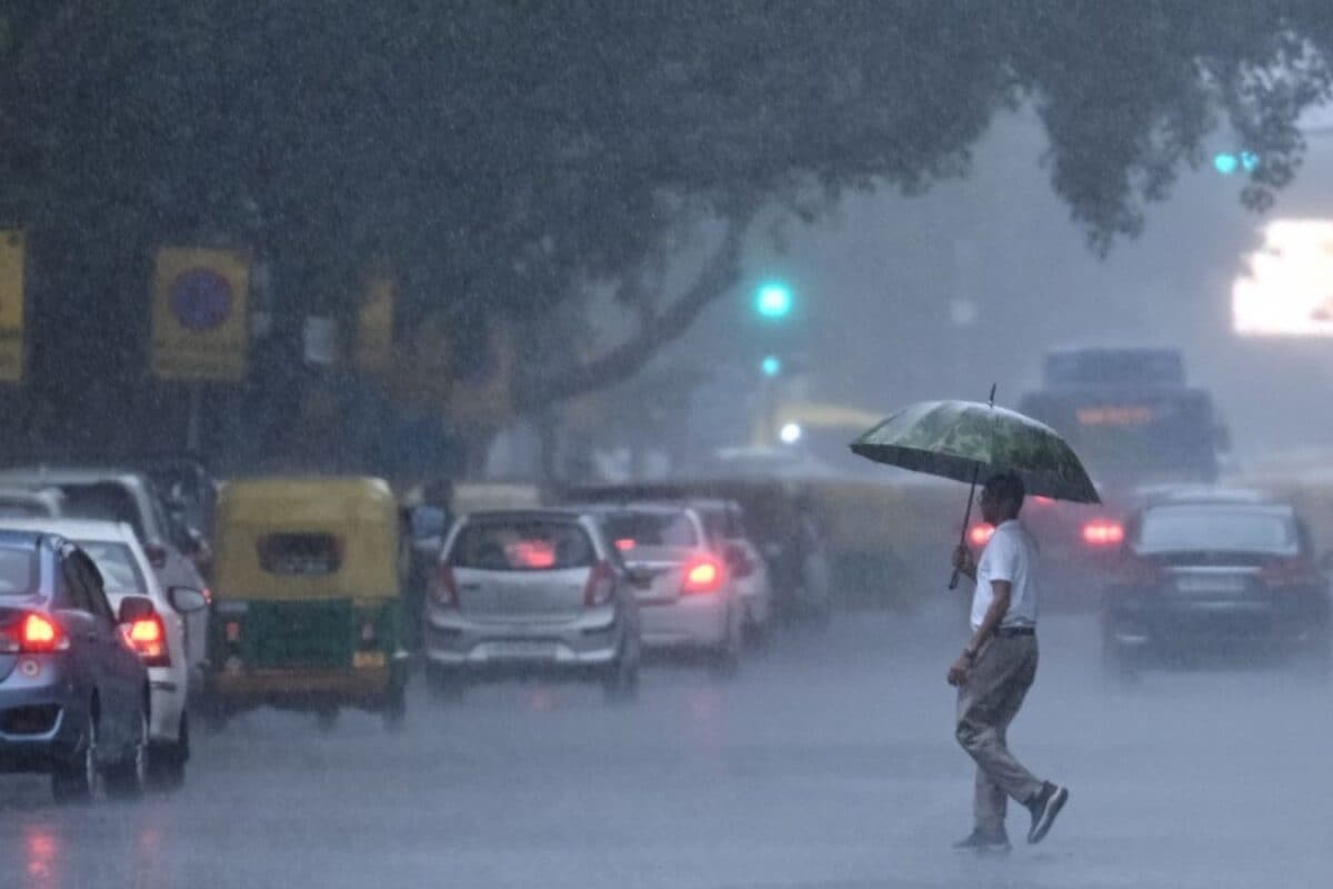
News india Delhi Records Wettest First Week Of August In 15 Years As Monsoon Gains Pace Delhi Records Wettest First Week Of August In 15 Years As Monsoon Gains Pace Published By, Last Updated: August 07, 2026, 23:31 IST The capital received 127 mm of rainfall during the first seven days of August, with heavy rain causing severe waterlogging, traffic disruptions and cooler-than-normal temperatures. Rapid Read Heavy rain pounded Delhi-NCR on Friday, throwing normal life out of gear. (Image: PTI) Delhi witnessed its wettest first week of August in 15 years after relentless rainfall drenched the national capital, disrupting daily life and pushing rainfall levels well above normal. According to the India Meteorological Department (IMD), the city received 127 mm of rain between August 1 and 7, the highest for the period since 2011. The prolonged spell of rain led to severe waterlogging, traffic disruptions and a red alert from the weather department as multiple weather systems remained active over north India. Rainfall Crosses 15-Year High The IMD said Delhi recorded its highest rainfall during the first week of August in 15 years, with several weather stations receiving more than 100 mm of rain in a single day. Among them, Pushp Vihar recorded the highest rainfall at 111.5 mm, followed by Chhatarpur (104.5 mm), Ayanagar (87.4 mm), Palam (73.5 mm), Janakpuri (68 mm), Jharoda Kalan (67 mm), Pusa (59.5 mm), Safdarjung (57.3 mm), Narayana (53 mm), Ridge (49.6 mm), Lodhi Road (49.3 mm), Mayur Vihar (36 mm), Najafgarh (24 mm) and Jafarpur (13.5 mm).
Between 5.30 pm and 6.30 pm on Friday, Mayur Vihar received 24 mm of rain, Pushp Vihar 19 mm, Pragati Maidan 12.5 mm and Chhatarpur 10.5 mm. Smaller amounts were recorded at Pusa (5 mm), Najafgarh and Pitampura (4 mm each), Narayana (2.5 mm), Jharoda Kalan (1 mm) and Jafarpur (0.5 mm), while Janakpuri recorded no rainfall during that one-hour period. Why Delhi Saw Such Heavy Rain According to the IMD, the widespread rainfall was triggered by the combined impact of an active monsoon trough, a low-pressure area over southwest Uttar Pradesh and adjoining regions with an associated cyclonic circulation, and a western disturbance affecting northwest India. “The widespread rainfall over Delhi since yesterday has been influenced by the active monsoon trough, which continues to pass through Delhi and other parts of north and east India before extending into the east-central Bay of Bengal. Rainfall activity over Delhi is expected to decrease from tomorrow, with light rain likely over the city during the next two days," an IMD official said. Earlier, the weather office had forecast a generally cloudy sky with moderate to heavy rainfall and said the wet spell is likely to continue till August 10. Rainfall Well Above Normal Across Stations The heavy showers over the past two days pushed rainfall far above the normal August average at most of Delhi’s key weather stations.
 The BriefWire