Great Nicobar project's great question
Standing as a natural sentinel at the western gateway of the Strait of Malacca, Great Nicobar Island anchors India's proposed mega-project, comprising a greenfield international
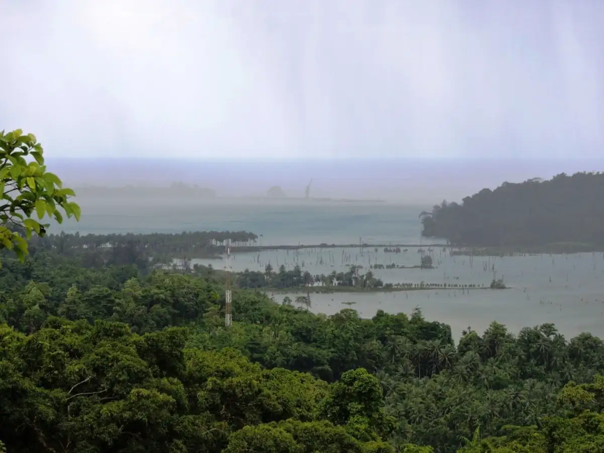
Standing as a natural sentinel at the western gateway of the Strait of Malacca, Great Nicobar Island anchors India's proposed mega-project, comprising a greenfield international airport, a township and its centrepiece, an International Container Transshipment Terminal at Galathea Bay.The project seeks to strengthen the country’s position in global maritime trade by leveraging the island's proximity to the East–West shipping route and reducing dependence on foreign transshipment ports.Also Read | Beating the Heat: India’s data centre dream and the 50°C reality in its pathRising just 40 nautical miles from the world's busiest maritime corridor, the deep-water haven at Galathea Bay boasts natural draft depths, capable of accommodating the globe's largest ultra-large container ships. Driven by a phased 16,610-hectare master plan through 2047, the mega-development couples a 14.2 million TEU container terminal with a high-capacity international airport designed to welcome 10 million annual travellers.In June this year, the Central government announced that heavy machinery will likely roll onto the shores of Great Nicobar Island to begin ground construction of the Rs 91,000-crore mega-infrastructure project by 2028.Also Read | Fueling Demand: Inside India’s ethanol mobility revolution in reverseYet, beneath the high-stakes blueprint lies a formidable constraint: Great Nicobar falls within Seismic Zone V, the country's highest seismic risk category. As the 2028 construction deadline approaches, the central challenge facing India is not whether it should pursue this strategic project, but how to re-engineer rigid, sea-level-dependent maritime infrastructure for the island's unpredictable geology.132728404The seismic questionA 2019 study by the Indian Institute of Technology (IIT) Kanpur examined the region's seismic history. The researchers analysed deep sediment records from Badabalu Beach in South Andaman, unearthing geological evidence of at least seven major tsunami events over the past 8,000 years.By modelling these disasters, the IIT Kanpur scientists estimated that mega-earthquakes registering at a magnitude of 9.0 or higher recur roughly every 420 to 750 years.More concerning for the port’s operational lifespan, however, was the recurrence interval for large-magnitude earthquakes of 7.5 or higher, which strike on a tighter loop of 80 to 120 years.The report warned that the Andaman segment has accumulated enough tectonic strain to trigger a major subduction zone earthquake in the near future.The researchers also pointed out a 2,000-year gap in the region’s sediment history, meaning data from this period continues to be missing.However, the Environment Impact Assessment report—commissioned by the Andaman and Nicobar Islands Integrated Development Corporation Ltd.
 The BriefWire